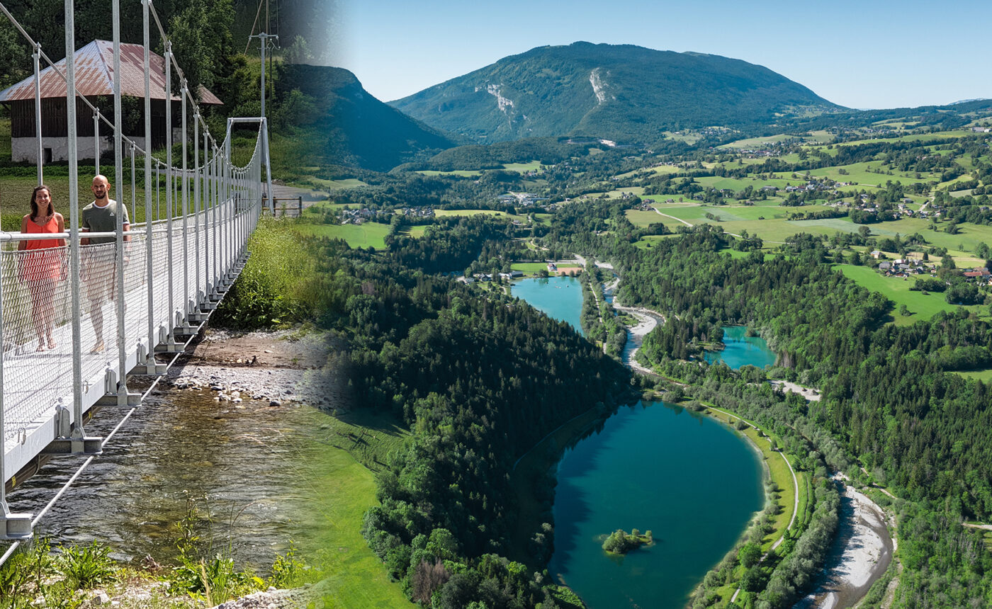
Cheran flood plain
The floodplain of the Chéran corresponds to a sector where the riverbed is widened. This morphology has developed as a result of a soft geological substratum (presence of a molasse basin in the heart of the Bauges) which has allowed a vast depression to be created. It is the result of the presence of glacial locks (Charniaz and Lescheraines) which acted as a barrier to moraine deposits (local glaciers and glaciers crossing the Bauges via the Frêne and Leschaux passes). It results from the presence of a glacial confluence framed by the presence of rocky bars (Urgonian). The presence of these rocky bars is linked to the existence of major tectonic thrusts: the Margeriaz thrust, the Nant d’Aillon – Roc des Boeufs thrust and others. Although glacial morphologies (moraine belts) and lacustrine and fluvioglacial deposits are present in the area, the details of how these formations were formed are still being studied. A lake stage, for example, has been identified throughout this sector due to the presence of a former glacial dam in the Chéran valley.
On the spot
Take the Picot footbridge, near the start of the Pissieu waterfall path, to reach the right bank of the Chéran. From here, you can take a flat path through the La Motte-en-Bauges lake. There are two other ways of accessing the trail, via Le Châtelard (passing in front of the fire station) or from the hamlet of Le Rocher (La Motte en Bauges).

